L’urbanistica, la carta e le cifre. Progettare lo spazio urbano tra Otto e Novecento
Titolo Rivista MEMORIA E RICERCA
Autori/Curatori Enrico Chapel
Anno di pubblicazione 2014 Fascicolo 2014/45 Lingua Italiano
Numero pagine 22 P. 29-50 Dimensione file 456 KB
DOI 10.3280/MER2014-045003
Il DOI è il codice a barre della proprietà intellettuale: per saperne di più
clicca qui
Qui sotto puoi vedere in anteprima la prima pagina di questo articolo.
Se questo articolo ti interessa, lo puoi acquistare (e scaricare in formato pdf) seguendo le facili indicazioni per acquistare il download credit. Acquista Download Credits per scaricare questo Articolo in formato PDF

FrancoAngeli è membro della Publishers International Linking Association, Inc (PILA)associazione indipendente e non profit per facilitare (attraverso i servizi tecnologici implementati da CrossRef.org) l’accesso degli studiosi ai contenuti digitali nelle pubblicazioni professionali e scientifiche
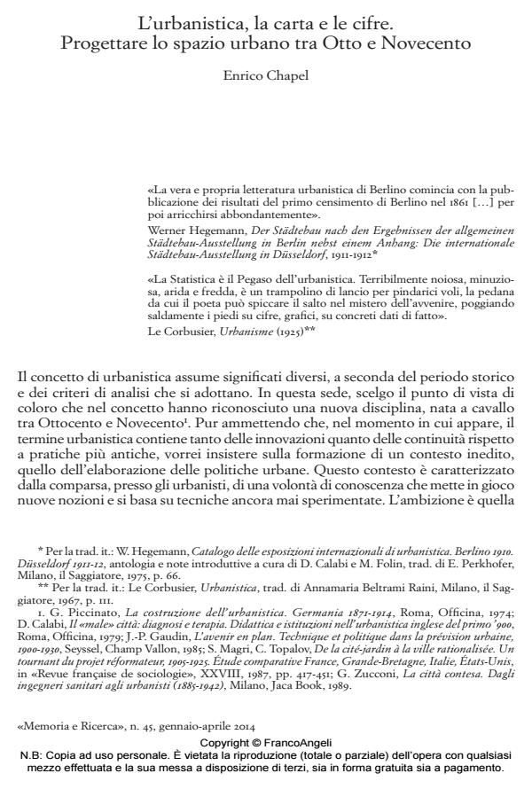
At the time of more and more perfect measure and representation of the territory follows trivialization and proliferation of plans. In Nineteenth century appear Atlases that dissect the image of the city, and statistical mapping that allows to represent structural dimensions of the urban phenomenon: population density, hygiene and functionality of spaces, services allocation, traffic flows, etc. The paper aims to show that urban planning was born during this process of cartographic production and statistical measurement of urban context. This course introduce a new form of urban design which records concepts such «standard» and «prediction» in the iconic order of planning. To what extent accumulation of maps and numbers in the Nineteenth and Twentieth century gave rise to modern urban project?;
Keywords:Cartography, City planning, Statistics, Measure, City, Plan
Enrico Chapel, L’urbanistica, la carta e le cifre. Progettare lo spazio urbano tra Otto e Novecento in "MEMORIA E RICERCA " 45/2014, pp 29-50, DOI: 10.3280/MER2014-045003