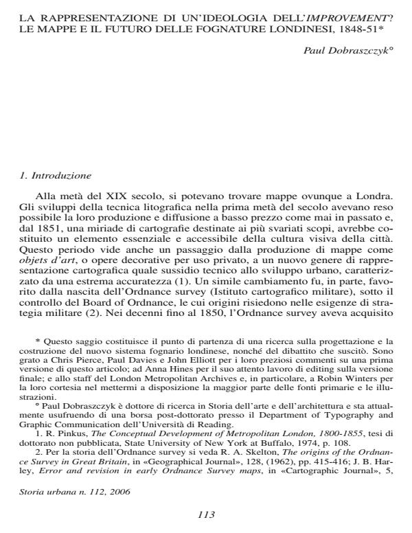
La rappresentazione di una ideologia dell'improvement? Le mappe e il futuro delle fognature londinesi, 1848-51
Titolo Rivista STORIA URBANA
Autori/Curatori Paul Dobraszczyk
Anno di pubblicazione 2007 Fascicolo 2006/112 Lingua Italiano
Numero pagine 27 P. 113-139 Dimensione file 3160 KB
DOI
Il DOI è il codice a barre della proprietà intellettuale: per saperne di più
clicca qui
Qui sotto puoi vedere in anteprima la prima pagina di questo articolo.
Se questo articolo ti interessa, lo puoi acquistare (e scaricare in formato pdf) seguendo le facili indicazioni per acquistare il download credit. Acquista Download Credits per scaricare questo Articolo in formato PDF

FrancoAngeli è membro della Publishers International Linking Association, Inc (PILA)associazione indipendente e non profit per facilitare (attraverso i servizi tecnologici implementati da CrossRef.org) l’accesso degli studiosi ai contenuti digitali nelle pubblicazioni professionali e scientifiche
This article will consider the relationship between two types of map, produced in London from 1848 to 1851, that were closely related to the future improvement of the city’s sanitary infrastructure: the first Ordinance Survey of London, which was requested by the Metropolitan Commission of Sewers (MCS) in 1848 and mapped London’s above-ground topography; and secondly, maps produced as a result of the MCS subterranean survey of existing sewers, begun during the preparation of the Ordinance Survey plans. This article will demonstrate that these two interrelated maps, far from demonstrating a coherent planner’s vision, instead highlight inconsistencies and contradictions within that vision.;
Paul Dobraszczyk, La rappresentazione di una ideologia dell'improvement? Le mappe e il futuro delle fognature londinesi, 1848-51 in "STORIA URBANA " 112/2006, pp 113-139, DOI: