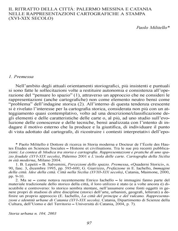
Il ritratto della città: Palermo, Messina e Catania nelle rappresentazioni cartografiche a stampa ( XVI-XIX secolo)
Journal title STORIA URBANA
Author/s Paolo Militello
Publishing Year 2005 Issue 2003/104 Language Italian
Pages 22 P. File size 1718 KB
DOI
DOI is like a bar code for intellectual property: to have more infomation
click here
Below, you can see the article first page
If you want to buy this article in PDF format, you can do it, following the instructions to buy download credits

FrancoAngeli is member of Publishers International Linking Association, Inc (PILA), a not-for-profit association which run the CrossRef service enabling links to and from online scholarly content.
This article examines the main cartographic representations of three Sicilian towns Palermo, Messina, and Catania drafted between XVIth and XIXth century. The maps and the illustrations are not analyzed with a contemplative attitude aimed at a description/classification of the elements and features of the maps, nor as an analysis of the evolution of knowledge and techniques, but rather with the purpose of investigating the external motivations that produced and justified them. This approach better allows us to identify the cartographer’s point of view and implement the descriptions that often derive from or accompany or illustrate these representations in reconstructing their historical context. These interpretations can help us to understand the ‘complicity’ between the author and the observer that sheds light on understanding these maps. In this way maps and views, like any other document, can be viewed within an historical context and not as simple illustrations of the past.
Paolo Militello, Il ritratto della città: Palermo, Messina e Catania nelle rappresentazioni cartografiche a stampa ( XVI-XIX secolo) in "STORIA URBANA " 104/2003, pp , DOI: