Practices of spatial identification in Italian cities (XIVth-XVIIIth centuries): an attempt of synthesis
Journal title STORIA URBANA
Author/s Marco Folin
Publishing Year 2021 Issue 2020/166
Language Italian Pages 27 P. 71-97 File size 672 KB
DOI 10.3280/SU2020-166004
DOI is like a bar code for intellectual property: to have more infomation
click here
Below, you can see the article first page
If you want to buy this article in PDF format, you can do it, following the instructions to buy download credits

FrancoAngeli is member of Publishers International Linking Association, Inc (PILA), a not-for-profit association which run the CrossRef service enabling links to and from online scholarly content.
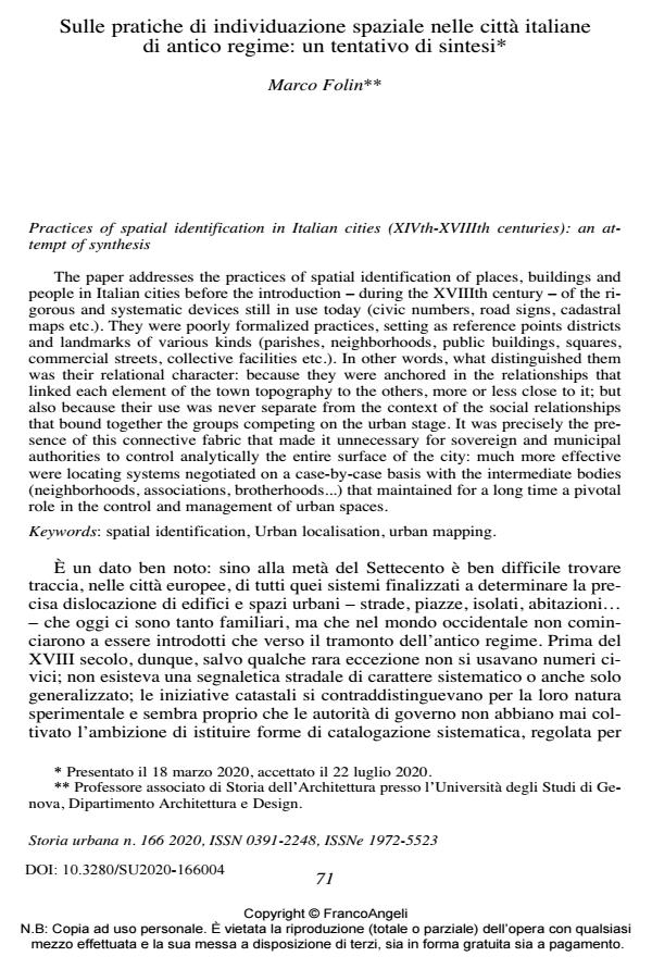
The paper addresses the practices of spatial identification of places, buildings and people in Italian cities before the introduction - during the XVIIIth century - of the rigorous and systematic devices still in use today (civic numbers, road signs, cadastral maps etc.). They were poorly formalized practices, setting as reference points districts and landmarks of various kinds (parishes, neighborhoods, public buildings, squares, commercial streets, collective facilities etc.). In other words, what distinguished them was their relational character: because they were anchored in the relationships that linked each element of the town topography to the others, more or less close to it; but also because their use was never separate from the context of the social relationships that bound together the groups competing on the urban stage. It was precisely the presence of this connective fabric that made it unnecessary for sovereign and municipal authorities to control analytically the entire surface of the city: much more effective were locating systems negotiated on a case-by-case basis with the intermediate bodies (neighborhoods, associations, brotherhoods...) that maintained for a long time a pivotal role in the control and management of urban spaces. Keywords: spatial identification, Urban localisation, urban mapping.
Keywords: Pratiche di individuazione dei luoghi cittadini, Sistemi di reperimento urbano, Sistemi di mappatura urbana
Marco Folin, Sulle pratiche di individuazione spaziale nelle città italiane di antico regime: un tentativo di sintesi in "STORIA URBANA " 166/2020, pp 71-97, DOI: 10.3280/SU2020-166004