Continuities and discontinuities between spatial arrangements and sociopolitical regimes in in the Paseo de la Reforma and in Mexico

Journal title CRIOS
Author/s Roberto Pasini
Publishing Year 2022 Issue 2022/23 Language Italian
Pages 14 P. 28-41 File size 526 KB
DOI 10.3280/CRIOS2022-023004
DOI is like a bar code for intellectual property: to have more infomation click here

Below, you can see the article first page

If you want to buy this article in PDF format, you can do it, following the instructions to buy download credits
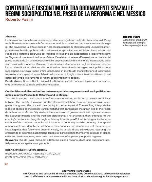
Article preview

FrancoAngeli is member of Publishers International Linking Association, Inc (PILA), a not-for-profit association which run the CrossRef service enabling links to and from online scholarly content.

The article reconstructs spatial transformations occurring in the urban structure of Paris between the French Revolution and the Commune, relating them to the succession of re- gimes that govern the city and the country in the same period. The resulting interpretative model is applied to the spatial transformations that consolidate the urban axis of the Paseo de la Reforma in Mexico City vis-à-vis the succession of governments and regimes between the Segundo Imperio and the Porfirian dictatorship. The analysis is then extended to the country’s territory evolving throughout history from its pre-Columbian origins to the con- stitution of the modern national state. Moments of continuity and discontinuity of its spatial arrangements are identified in relation to the continuity and discontinuity of the socio-political regimes that follow one another. Finally, the article draws conclusions regarding the emergence of diachronic aspirations capable of consolidating themselves in space of places, cities and territories, using over time the instrument of apparently opposite regimes.

Keywords: Rue de Rivoli, Paseo del la Reforma, estado nacional, diachronic aspirations, spatial permanence, spatial arrangements.

  1. Alphand M.A. et al. (1889). Les Travaux de Paris. 1789-1889. Atlas, Pa- ris: Imprimerie nationale.
  2. Bartra R. (1987). La jaula de la melancolia. Identidad y metamorfosis del mexicano. Ciudad de México: Grijalbo.
  3. Berry C. (1981). The Reform in Oaxaca 1856-76. Lincoln: University of Nebraska Press.
  4. Biar A. (2020). A Lacustrine Cultural Landscape in the Prehispanic Basin of Mexico. The International Journal of Nautical Arche- ology, 49 (2): 341-356.
  5. Bonnier L., Poëte M. (1913). Rapports de la Commission d’extension de Paris: Aperçu historique. Paris: Imprimerie Chaix.
  6. Brenner N., Katsikis N. (2020). Operational Landscapes. Hinterlands of the Capitalocene. AD / Architectural Design, 90 (3): 22-31.
  7. Campos J.A. (2011). Traza y morfología de la Ciudad de México en el Virreinato. In AA.VV., Investigación y Diseño. Anuario de po- sgrado 07, México DF: UAM-X, 149-166.
  8. Fernández M.A., et al (1988). Chapultepec: Historia y Presencia. Ciu- dad de México: Smurfit Cartón y Papel.
  9. Florescano E. (2001). Etnía, Estado y Nación. Madrid: Taurus.
  10. Galindo Trejo J. (2013). La traza urbana de ciudades coloniales en México: ¿Una herencia derivada del calendario mesoamerica- no? Indiana, 30: 33-50.
  11. Gibson C. (1995). The transformation of the Indian community in New Spain, 1500-1800. Cahiers d’histoire mondiale, 2: 581-607.
  12. Halbwachs M. (1909). Les expropriations et les prix de terrains à Paris (1860-1900), Paris: Cornély & Cie.
  13. Halbwachs M. (1920). Les plans d’extension et d’aménagement de Paris avant le XIXe siècle Paris. La vie urbaine, 2: 3-28.
  14. Halbwachs M. (1925). La population et les tracés de voies à Paris de- puis un siècle. Paris: Presses Universitaires de France.
  15. Hale C. (1968). Mexican liberalism in the age of Mora, 1821-1853. New Haven: Yale University Press.
  16. Hale C. (1989). The transformation of liberalism in late 19th-century Mexico. New York: Princeton University Press. Herrera Moreno E., de Ita Martínez C., Trueblood B. (1982). 500 planos de la Ciudad de México 1325-1933. México D.F.: SAHOP.
  17. Humboldt A. von (1808). Atlas géographique et physique du royau- me de la Nouvelle Espagne, Paris: Schoell.
  18. Humboldt A. von (1811). Essai politique sur le royaume de la Nouvelle Espagne. Paris: Schoell.
  19. Lafaye J. (1974). Quetzalcóatl et Guadalupe - La formation de la con- science nationale au Mexique. 1531-1813. Paris: Gallimard.
  20. León-Portilla M., Aguilera C. ( 2016). Mapa de México Tenochtitlan y sus contornos hacia 1550. Ciudad de México: Ediciones ERA – Secretaría de Cultura de la Ciudad de México.
  21. Lockhart J. (1992). The Nahuas after the conquest. A social and cul- tural history of the Indians of Central Mexico, sixteenth throu- gh eighteenth centuries. Palo Alto: Stanford University Press.
  22. Lombardo de Ruiz S., Terán Trillo Y. (1996). Atlas histórico de la Ciu- dad de México. Ciudad de México: Smurfit Cartón y Papel.
  23. Martínez R.M. (2008). Juárez, su obra, su tiempo, y su mundo juríd- ico. Las Leyes de Reforma. Anuario Mexicano de Historia del Derecho, 20: 129-147.
  24. Mohar M. (1999). El Mapa Quinatzin. De valientes guerreros chichi- mecas a sabios y poderosos gobernantes, tesis de doctorado en Ciencias Sociales y Políticas, tutor Carmen Viqueira, Ciu- dad de México: UNAM.
  25. Rossi A. (1966). L’architettura della città. Padova: Marsilio.
  26. Trabulse E. (2001). La obra cartográfica de don Carlos de Sigüenza y Góngora. Caravelle, 76-77: 265-275.
  27. Vasconcelos J. (1925). La raza cósmica. Misión de la raza iberoameri- cana. Ciudad de México: Agencia Mundial de Libreria.
  28. Wagner L., Box H., Morehead S.K. (2013). Ancient origins of the Mexi- can plaza. From primordial sea to public space. Austin: Univer- sity of Texas Press.

Roberto Pasini, Continuità e discontinuità tra ordinamenti spaziali e regimi sociopolitici nel Paseo de la Reforma e nel Messico in "CRIOS" 23/2022, pp 28-41, DOI: 10.3280/CRIOS2022-023004